Location
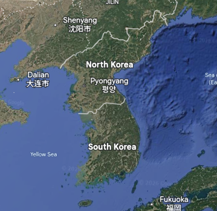
This border is located east of China, west of Japan, and south of Russia, and is on the Korean Peninsula.
By Theo.N
Families have been separated for 25 years and have been isolated from news from outside the country of North Korea. Most families don't know if their relatives are still alive.
This border is located east of China, west of Japan, and south of Russia, and is on the Korean Peninsula.
This is a human-made border. This specific border is almost impossible to get past.
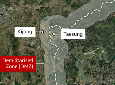
This border has changed in many different ways.
Japan took over Korea in 1910.
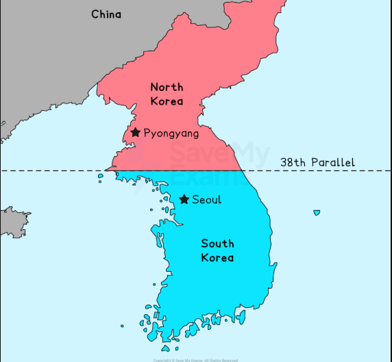
The USA and the Soviet Union divided it at the 38th parallel.
The border was drawn where soldiers were standing at the end of the Cold War.
Map (Location): Google Earth
Image (Type of border): DuckDuckGo search
Image 1 (How the border has changed): Save My Exams
Image 2 (How the border has changed): Google Earth